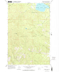
1965 Map of Belmont Point
USGS Topo · Published 1968About this map
Belmont Point dominates the western skyline of this mid-1960s survey, capped by a Lookout Tower that surveys a landscape of heavy timber and high ridges. The map illustrates a managed wilderness where the Lolo National Forest meets the Clearwater State Forest, centered on the shoreline of Placid Lake. A single Campground at the northeast corner of the lake serves as the primary point of human activity in an area otherwise defined by drainage systems and steep topography.
Find a feature on this map
21 named features on this map. Tap any name to fly to it.
Don’t see what you’re looking for? This feature index may not catch every label — zoom into the map to look around manually.
Map Details
Editions of this 1965 Belmont Point Map
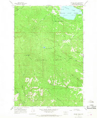
2 editions found
Other maps of this area

1902 · Ovando
USGS Topo · 1:125,000

1903 · Bonner
USGS Topo · 1:125,000

1905 · Ovando
USGS Topo · 1:125,000

1919 · Drummond
USGS Topo · 1:125,000

1921 · Drummond
USGS Topo · 1:125,000

1921 · Elbow Lake
USGS Topo · 1:125,000

1947 · Butte
USGS Topo · 1:250,000

1955 · Choteau
USGS Topo · 1:250,000

1957 · Choteau
USGS Topo · 1:250,000

1958 · Butte
USGS Topo · 1:250,000