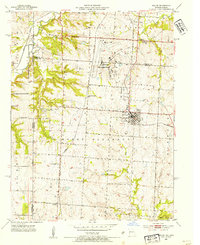
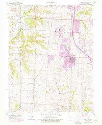
1953 Map of Belton
USGS Topo · Published 1954About this map
Belton and its surrounding Cass County landscapes are captured here during a period of mid-century growth and military expansion. The prominent Grandview Air Force Base occupies a significant portion of the northern terrain, indicating the Cold War-era importance of this region just south of Kansas City. The local economy and infrastructure are further defined by the Knoche Oil Field and a dense network of railroads including the Kansas City Southern, St Louis San Francisco, and Missouri Pacific. These tracks connect established communities like Belvidere and Jaudon to the broader regional trade network.
Find a feature on this map
29 named features on this map. Tap any name to fly to it.
Don’t see what you’re looking for? This feature index may not catch every label — zoom into the map to look around manually.
Map Details
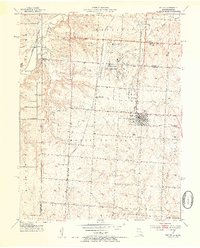
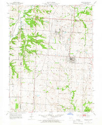
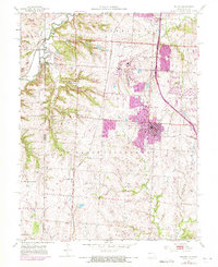
Editions of this 1953 Belton Map
5 editions found
Other maps of this area

1887 · Harrisonville
USGS Topo · 1:125,000

1887 · Olathe
USGS Topo · 1:125,000

1892 · Harrisonville
USGS Topo · 1:125,000

1893 · Olathe
USGS Topo · 1:125,000

1894 · Harrisonville
USGS Topo · 1:125,000

1934 · Grandview
USGS Topo · 1:24,000

1934 · Lees Summit
USGS Topo · 1:24,000

1935 · Lenexa
USGS Topo · 1:24,000

1939 · Grandview
USGS Topo · 1:31,680

1939 · Lees Summit
USGS Topo · 1:31,680