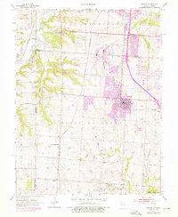
1953 Map of Belton
USGS Topo · Published 1976About this map
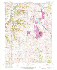
Richards-Gebaur Air Force Base dominates the landscape of Cass and Jackson counties in this mid-century survey, reflecting the region's Cold War era military expansion. The airfield sits just north of Belton, where residential growth is shown through updated purple tinting from the early 1970s. The presence of the Knoche Oil Field and the Kansas City Southern and St Louis San Francisco railroads highlights the intersection of fossil fuel extraction and regional transportation networks. Rural life is grounded by landmarks such as Mt Pleasant Sch, Westover Sch, and small private air strips like Milligan Airport. Farther south, the small community of Jaudon remains a distinct marker of the area's agricultural roots before suburban sprawl reached the Cass County line from neighboring Grandview.
Find a feature on this map
30 named features on this map. Tap any name to fly to it.
Don’t see what you’re looking for? This feature index may not catch every label — zoom into the map to look around manually.
Map Details
Editions of this 1953 Belton Map
5 editions found
Other maps of this area

1887 · Harrisonville
USGS Topo · 1:125,000

1887 · Olathe
USGS Topo · 1:125,000

1892 · Harrisonville
USGS Topo · 1:125,000

1893 · Olathe
USGS Topo · 1:125,000

1894 · Harrisonville
USGS Topo · 1:125,000

1934 · Grandview
USGS Topo · 1:24,000

1934 · Lees Summit
USGS Topo · 1:24,000

1935 · Lenexa
USGS Topo · 1:24,000

1939 · Grandview
USGS Topo · 1:31,680

1939 · Lees Summit
USGS Topo · 1:31,680