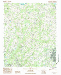
1983 Map of Belton West
USGS Topo · Published 1983About this map
The Southern and Seaboard railroads converge at Belton, a major transportation hub in this South Carolina Piedmont landscape. To the west, the outskirts of Anderson reach toward the Rocky River, where the Drive-In Theatre and Calhoun St Sch mark the growing edge of the city. The rural areas between these centers are characterized by a dense network of small communities and social centers, including Hammond, Campbell, and the textile town of Williamston in the northeast corner.
Find a feature on this map
39 named features on this map. Tap any name to fly to it.
Don’t see what you’re looking for? This feature index may not catch every label — zoom into the map to look around manually.
Map Details
Editions of this 1983 Belton West Map
2 editions found
Other maps of this area

1888 · Pickens
USGS Topo · 1:125,000

1892 · Abbeville
USGS Topo · 1:125,000

1893 · Elberton
USGS Topo · 1:125,000

1894 · Pickens
USGS Topo · 1:125,000

1954 · Greenville
USGS Topo · 1:250,000

1957 · Anderson
USGS Topo · 1:62,500

1957 · Williamston
USGS Topo · 1:62,500

1958 · Greenville
USGS Topo · 1:250,000

1964 · Saylors Crossroads
USGS Topo · 1:24,000
1964 · Anderson South
USGS Topo · 1:24,000