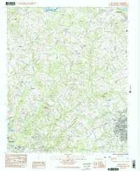
1983 Map of Belton West
USGS Topo · Published 1983About this map
The rolling Piedmont landscape of Anderson County during the late 1970s and early 1980s is defined by a dense network of rural churches and family-named waterways. This area between Anderson and Belton shows a transition from structured town centers to a landscape dominated by agricultural drainage, with Beaverdam Creek and its many tributaries like Little Beaverdam Creek and Watermelon Creek carving through the terrain. The presence of numerous small congregations, such as Evergreen Ch, Salem Ch, and New Hopewell Ch, reflects the historical community hubs that sustained this region's social fabric.
Find a feature on this map
30 named features on this map. Tap any name to fly to it.
Don’t see what you’re looking for? This feature index may not catch every label — zoom into the map to look around manually.
Map Details
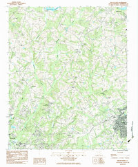
Editions of this 1983 Belton West Map
2 editions found
Other maps of this area

1888 · Pickens
USGS Topo · 1:125,000

1892 · Abbeville
USGS Topo · 1:125,000

1893 · Elberton
USGS Topo · 1:125,000

1894 · Pickens
USGS Topo · 1:125,000

1954 · Greenville
USGS Topo · 1:250,000

1957 · Anderson
USGS Topo · 1:62,500

1957 · Williamston
USGS Topo · 1:62,500

1958 · Greenville
USGS Topo · 1:250,000

1964 · Saylors Crossroads
USGS Topo · 1:24,000
1964 · Anderson South
USGS Topo · 1:24,000