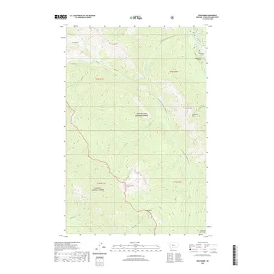
2020 Map of Benchmark
USGS Topo · Published 2020About this map
The Lewis and Clark Range defines this high-elevation landscape, where the Lewis & Clark National Forest meets the Flathead National Forest. This terrain is structured by massive ridgelines and drainages, most notably the S Fork Sun River and its numerous tributaries like Straight Cr and Hoadley Cr. The presence of the Benchmark Airport near Wood Creek Hogback indicates a point of wilderness access for aviation in an otherwise roadless backcountry.
Find a feature on this map
31 named features on this map. Tap any name to fly to it.
Don’t see what you’re looking for? This feature index may not catch every label — zoom into the map to look around manually.
Map Details
Editions of this 2020 Benchmark Map
This is the sole edition of this map. No revisions or reprints were ever made.
Other maps of this area

1902 · Ovando
USGS Topo · 1:125,000

1903 · Saypo
USGS Topo · 1:125,000

1903 · Coopers Lake
USGS Topo · 1:125,000

1905 · Ovando
USGS Topo · 1:125,000

1936 · Silvertip
USGS Topo · 1:96,000

1942 · Silvertip
USGS Topo · 1:125,000

1955 · Choteau
USGS Topo · 1:250,000

1957 · Choteau
USGS Topo · 1:250,000

1958 · Choteau
USGS Topo · 1:250,000

1958 · Pretty Prairie
USGS Topo · 1:24,000