
1950 Map of Bendeleben B-3
USGS Topo · Published 1955About this map
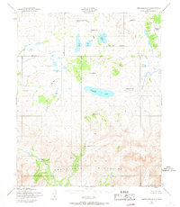
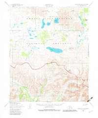
The Bendeleben Mountains dominate the southern half of this landscape, rising to peaks such as Mount Boyan. North of these heights, the terrain transitions into a complex volcanic field characterized by recent geological activity. Features like Lost Jim Cone, Gosling Cone, and the Twin Calderas mark this lava-strewn expanse, punctuated by Sandy Lake and the substantial Kuzitrin Lake.
Find a feature on this map
15 named features on this map. Tap any name to fly to it.
Don’t see what you’re looking for? This feature index may not catch every label — zoom into the map to look around manually.
Map Details
Editions of this 1950 Bendeleben B-3 Map
3 editions found
Other maps of this area

1950 · Bendeleben A-4
USGS Topo · 1:63,360

1950 · Bendeleben C-3
USGS Topo · 1:63,360

1950 · Bendeleben B-2
USGS Topo · 1:63,360

1950 · Bendeleben A-3
USGS Topo · 1:63,360

1950 · Bendeleben C-2
USGS Topo · 1:63,360

1950 · Bendeleben B-4
USGS Topo · 1:63,360

1950 · Bendeleben C-4
USGS Topo · 1:63,360

1950 · Bendeleben A-2
USGS Topo · 1:63,360

1950 · Bendeleben
USGS Topo · 1:250,000

1951 · Bendeleben
USGS Topo · 1:250,000