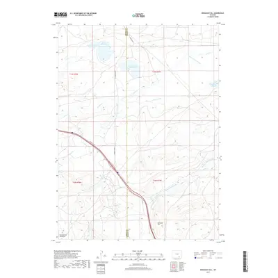
2017 Map of Bengough Hill
USGS Topo · Published 2017About this map
Bengough Hill rises as a prominent landmark in this high-altitude ranching landscape, which straddles the border between Albany and Carbon Counties. The region's history is defined by its sophisticated water management systems, evidenced by an extensive network of irrigation channels like the Symes and Deerlove Ditch and Northrop Ditch Number 5. These structures, alongside several impoundments including McFadden Reservoir Number Three and King Reservoir Number One, supported the livestock industry on the windswept plains beneath the eastern flank of the Medicine Bow Mountains.
Find a feature on this map
27 named features on this map. Tap any name to fly to it.
Don’t see what you’re looking for? This feature index may not catch every label — zoom into the map to look around manually.
Map Details
Editions of this 2017 Bengough Hill Map
This is the sole edition of this map. No revisions or reprints were ever made.
Other maps of this area

1895 · Laramie
USGS Topo · 1:125,000

1902 · Laramie
USGS Topo · 1:125,000

1905 · Laramie
USGS Topo · 1:125,000

1906 · Medicine Bow
USGS Topo · 1:125,000

1906 · Laramie
USGS Topo · 1:125,000

1908 · Laramie
USGS Topo · 1:125,000

1908 · Medicine Bow
USGS Topo · 1:125,000

1954 · Cheyenne
USGS Topo · 1:250,000

1954 · Rawlins
USGS Topo · 1:250,000

1955 · Big Judson
USGS Topo · 1:24,000