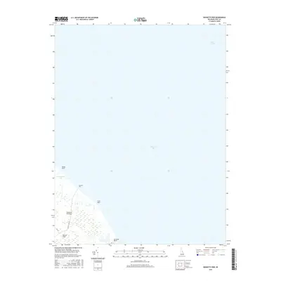
2016 Map of Bennetts Pier
USGS Topo · Published 2016About this map
Delaware Bay dominates this coastal survey, where the tidewaters meet the eastern edge of the Delmarva Peninsula. The landscape is defined by the marshy reaches of Milford Neck and several notable coastal projections, including Sandy Point and Clark Point. Human presence is concentrated at the small waterfront settlements of Bennetts Pier and Big Stone Beach, which are connected to the interior via local routes like Bennetts Pier Rd and Rd 418. The map illustrates the specialized estuarine environment of the region, where tidal waterways such as Brockonbridge Gut thread through the wetlands, and the deeper waters of Blake Channel lie just offshore, reflecting the area's long-standing connection to maritime navigation and the natural rhythms of the bay.
Find a feature on this map
12 named features on this map. Tap any name to fly to it.
Don’t see what you’re looking for? This feature index may not catch every label — zoom into the map to look around manually.
Map Details
Editions of this 2016 Bennetts Pier Map
This is the sole edition of this map. No revisions or reprints were ever made.
Other maps of this area

1890 · Maurice Cove
USGS Topo · 1:62,500

1891 · Maurice Cove
USGS Topo · 1:62,500

1899 · Vineland
USGS Topo · 1:125,000

1918 · Cedar Creek
USGS Topo · 1:62,500

1918 · Cape Henlopen
USGS Topo · 1:62,500

1919 · Cedar Creek
USGS Topo · 1:62,500

1919 · Vineland
USGS Topo · 1:125,000

1934 · Bowers
USGS Topo · 1:48,000
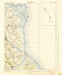
1936 · Bowers
USGS Topo · 1:62,500

1937 · Cape Henlopen
USGS Topo · 1:62,500