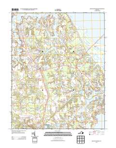
2013 Map of Benns Church
USGS Topo · Published 2013About this map
Smithfield and the surrounding hamlets of Isle of Wight County are defined by their deep connection to the tidal waters of the James River and its intricate tributaries. This coastal landscape is etched with history, where the community of Benns Church serves as a central waypoint between the established riverfront at Battery Park and the developing residential corridors of Carrollton. The geography is remarkably fluid, characterized by an abundance of creeks like Cypress Cr and Brewers Cr, and distinctive landmarks such as Gatling Point and Ragged Island.
Find a feature on this map
154 named features on this map. Tap any name to fly to it.
Don’t see what you’re looking for? This feature index may not catch every label — zoom into the map to look around manually.
Map Details
Editions of this 2013 Benns Church Map
This is the sole edition of this map. No revisions or reprints were ever made.
Other maps of this area

1907 · Norfolk
USGS Topo · 1:125,000

1907 · Yorktown
USGS Topo · 1:62,500

1907 · Hampton
USGS Topo · 1:62,500

1919 · Smithfield
USGS Topo · 1:62,500

1921 · Newport News
USGS Topo · 1:62,500

1943 · Yorktown
USGS Topo · 1:62,500

1943 · Richmond
USGS Topo · 1:250,000

1944 · Windsor
USGS Topo · 1:31,680

1944 · Morrison
USGS Topo · 1:24,000

1944 · Smithfield
USGS Topo · 1:24,000