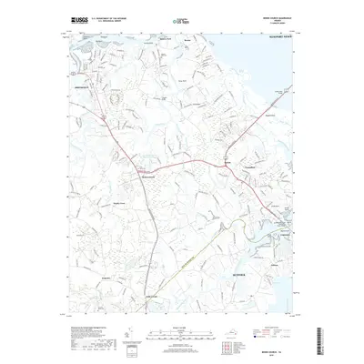
2019 Map of Benns Church
USGS Topo · Published 2019About this map
Smithfield and the surrounding reaches of Isle of Wight County define this coastal landscape where the Pagan River meets the James River Bridge corridor. This modern survey illustrates the complex intersection of historic Virginia hamlets and 21st-century development, spanning from Battery Park in the north to the borders of Suffolk in the south. The area is marked by its tidal geography, including the expansive Ragged Island wildlife area and the winding Chuckatuck Creek.
Find a feature on this map
205 named features on this map. Tap any name to fly to it.
Don’t see what you’re looking for? This feature index may not catch every label — zoom into the map to look around manually.
Map Details
Editions of this 2019 Benns Church Map
This is the sole edition of this map. No revisions or reprints were ever made.
Other maps of this area

1907 · Norfolk
USGS Topo · 1:125,000

1907 · Yorktown
USGS Topo · 1:62,500

1907 · Hampton
USGS Topo · 1:62,500

1919 · Smithfield
USGS Topo · 1:62,500

1921 · Newport News
USGS Topo · 1:62,500

1943 · Yorktown
USGS Topo · 1:62,500

1943 · Richmond
USGS Topo · 1:250,000

1944 · Windsor
USGS Topo · 1:31,680

1944 · Morrison
USGS Topo · 1:24,000

1944 · Smithfield
USGS Topo · 1:24,000