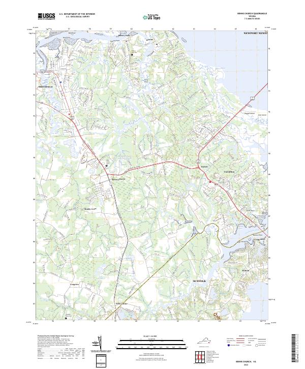
2022 Map of Benns Church
USGS Topo · Published 2022About this map
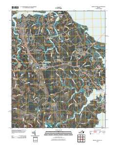
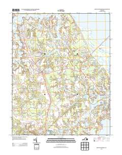
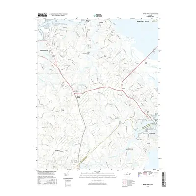
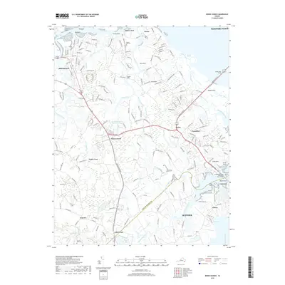
Benns Church stands at the heart of this coastal Virginia landscape, where the tides of the Pagan River and the Nansemond River define the local geography. This survey documents the modern layout of Isle of Wight County settlements, ranging from the historic waterfront at Battery Park and Rescue to inland crossroads like Muddy Cross and Wills Corner. The mapping of cemetery sites such as Saint Luke's Cem and Christian Home Cem offers valuable reference points for genealogists tracing family ties in the Tidewater region. Significant marshlands and inlets, including Ballard Marsh and Ragged Island Creek, illustrate the complex shoreline of the James River estuary, while the transition from traditional fishing communities to suburban residential areas is visible in the network of roads and developments surrounding Carrollton.
Find a feature on this map
188 named features on this map. Tap any name to fly to it.
Don’t see what you’re looking for? This feature index may not catch every label — zoom into the map to look around manually.
Map Details
Editions of this 2022 Benns Church Map
This is the sole edition of this map. No revisions or reprints were ever made.
Historical Maps of Smithfield Through Time
8 maps found
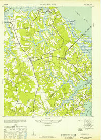
1952 Benns Church
Isle of Wight County, VA
1957 Benns Church
Isle of Wight County, VA
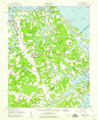
1965 Benns Church
Isle of Wight County, VA
2010 Benns Church
Isle of Wight County, VA
2013 Benns Church
Isle of Wight County, VA
2016 Benns Church
Isle of Wight County, VA
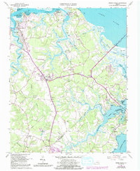
2019 Benns Church
Isle of Wight County, VA
2022 Benns Church
Isle of Wight County, VA