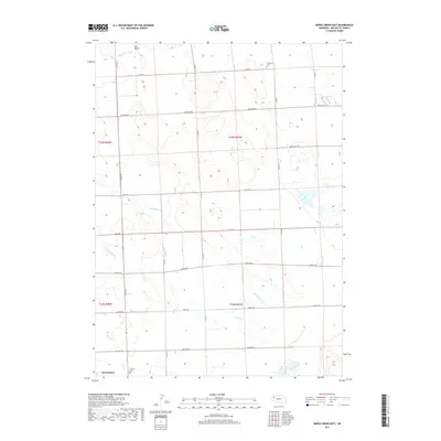
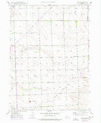
2017 Map of Berea Creek East
USGS Topo · Published 2017About this map
The High Plains of Box Butte County are defined by a network of seasonal watercourses and a strict section-line road grid in this 2017 survey. The northern reaches of Alliance appear in the southwest corner, where the transition from town lots to open range begins near Calvary Cem. Much of the landscape is dominated by the drainage patterns of Berea Cr and its N Fork, alongside the eastward-flowing Hemingford Cr. These intermittent streams carve subtle paths through the township boundaries of T26N and T25N. Rural life is anchored by a persistent network of county roads, including Hayes Rd and Madison Rd, while the isolated Plainview Cem in the northeast serves as a quiet landmark for local genealogists studying the settlement history of this agricultural region.
Find a feature on this map
25 named features on this map. Tap any name to fly to it.
Don’t see what you’re looking for? This feature index may not catch every label — zoom into the map to look around manually.
Map Details
Editions of this 2017 Berea Creek East Map
This is the sole edition of this map. No revisions or reprints were ever made.
Other maps of this area
1946 · Berea Creek East
USGS Topo · 1:24,000
1947 · Alliance
USGS Topo · 1:24,000
1947 · Bronco Lake
USGS Topo · 1:24,000
1947 · Box Butte
USGS Topo · 1:24,000
1948 · Berea Creek West
USGS Topo · 1:24,000
1948 · Berea Creek East
USGS Topo · 1:24,000
1948 · Alliance
USGS Topo · 1:24,000
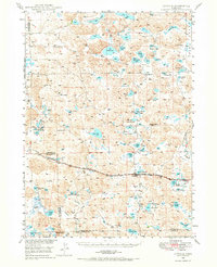
1948 · Antioch
USGS Topo · 1:62,500
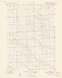
1949 · Box Butte SW
USGS Topo · 1:24,000
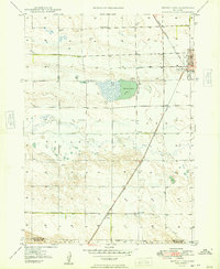
1949 · Bronco Lake
USGS Topo · 1:24,000