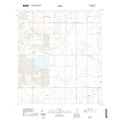
2021 Map of Bereah
USGS Topo · Published 2021About this map
The small settlement of Bereah anchors the eastern edge of this modern survey where the Polk and Hardee County line meets. The landscape is defined by a dense network of hydrologic features, including the winding course of Charlie Creek and the southern reaches of Bowlegs Creek. To the south, Little Charlie Creek and Old Town Creek cross the county boundary, while Sandy Gully and Parker Branch illustrate the drainage patterns typical of this part of Central Florida.
Find a feature on this map
45 named features on this map. Tap any name to fly to it.
Don’t see what you’re looking for? This feature index may not catch every label — zoom into the map to look around manually.
Map Details
Editions of this 2021 Bereah Map
This is the sole edition of this map. No revisions or reprints were ever made.
Other maps of this area

1952 · Homeland
USGS Topo · 1:24,000

1952 · Babson Park
USGS Topo · 1:24,000

1953 · Frostproof
USGS Topo · 1:24,000

1953 · Avon Park
USGS Topo · 1:24,000

1955 · Bowling Green
USGS Topo · 1:24,000

1955 · Wauchula
USGS Topo · 1:24,000

1955 · Alturas
USGS Topo · 1:24,000

1956 · Bereah
USGS Topo · 1:24,000

1956 · Griffins Corner
USGS Topo · 1:24,000

1956 · Fort Pierce
USGS Topo · 1:250,000