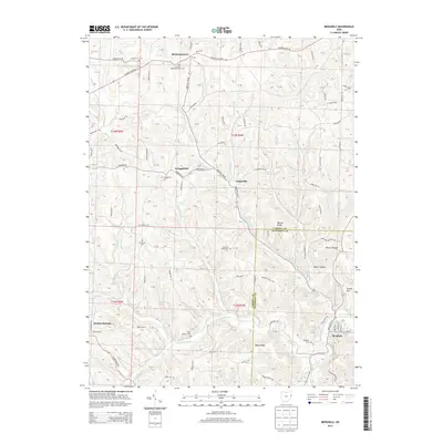
2013 Map of Bergholz
USGS Topo · Published 2013About this map
Mechanicstown and Bergholz anchor this portion of the borderlands between Carroll and Jefferson Counties, where a landscape of ridges and hollows is defined by the headwaters of the Yellow Creek watershed. The drainage patterns here are exceptionally dense, with Elkhorn Cr and the Upper N Fork carving through terrain marked by landmarks like Watson Ridge and Rainy Ridge.
Find a feature on this map
128 named features on this map. Tap any name to fly to it.
Don’t see what you’re looking for? This feature index may not catch every label — zoom into the map to look around manually.
Map Details
Editions of this 2013 Bergholz Map
This is the sole edition of this map. No revisions or reprints were ever made.
Other maps of this area

1901 · Cadiz
USGS Topo · 1:62,500

1902 · Scio
USGS Topo · 1:62,500

1903 · Cadiz
USGS Topo · 1:62,500

1904 · Scio
USGS Topo · 1:62,500

1905 · Salineville
USGS Topo · 1:62,500

1910 · Carrollton
USGS Topo · 1:62,500

1912 · Carrollton
USGS Topo · 1:62,500

1951 · Canton
USGS Topo · 1:250,000

1953 · Canton
USGS Topo · 1:250,000

1957 · Canton
USGS Topo · 1:250,000