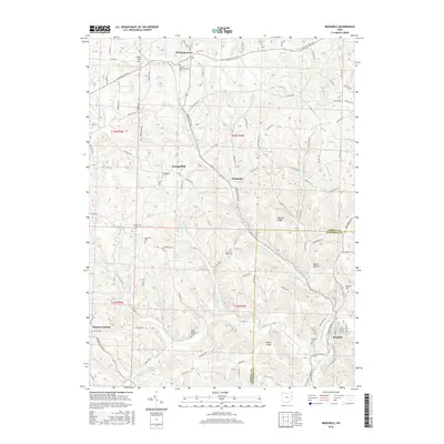
2016 Map of Bergholz
USGS Topo · Published 2016About this map
Bergholz and the surrounding borderlands of Carroll and Jefferson Counties are defined by a network of steep ridges and narrow stream valleys. The settlement pattern is anchored by small communities like Mechanicstown and Scroggsfield, connected by a winding system of rural roads that follow the natural topography. High points such as Watson Ridge and Rainy Ridge overlook a landscape carved by the Upper North Fork and Still Fork.
Find a feature on this map
56 named features on this map. Tap any name to fly to it.
Don’t see what you’re looking for? This feature index may not catch every label — zoom into the map to look around manually.
Map Details
Editions of this 2016 Bergholz Map
This is the sole edition of this map. No revisions or reprints were ever made.
Other maps of this area
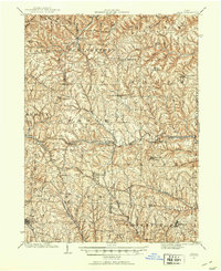
1901 · Cadiz
USGS Topo · 1:62,500
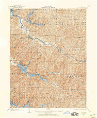
1902 · Scio
USGS Topo · 1:62,500
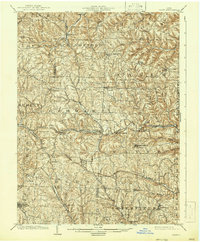
1903 · Cadiz
USGS Topo · 1:62,500
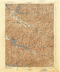
1904 · Scio
USGS Topo · 1:62,500
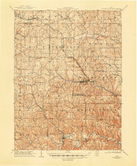
1905 · Salineville
USGS Topo · 1:62,500
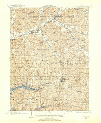
1910 · Carrollton
USGS Topo · 1:62,500
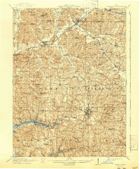
1912 · Carrollton
USGS Topo · 1:62,500
1951 · Canton
USGS Topo · 1:250,000
1953 · Canton
USGS Topo · 1:250,000
1957 · Canton
USGS Topo · 1:250,000