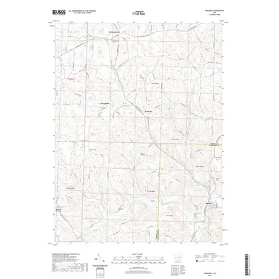
2019 Map of Bergholz
USGS Topo · Published 2019About this map
Yellow Creek flows through the southeastern corner of this landscape, anchoring the village of Bergholz, where a structured street grid including Washington St and Kennedy Ave meets the surrounding hills. The area is defined by a dense network of upland ridges and deep hollows, such as Rainy Ridge, Watson Ridge, and Blazer Hollow. This 2019 survey documents a rural landscape where small settlements like Mechanicstown and Scroggsfield remain connected by winding township roads.
Find a feature on this map
111 named features on this map. Tap any name to fly to it.
Don’t see what you’re looking for? This feature index may not catch every label — zoom into the map to look around manually.
Map Details
Editions of this 2019 Bergholz Map
This is the sole edition of this map. No revisions or reprints were ever made.
Other maps of this area

1901 · Cadiz
USGS Topo · 1:62,500

1902 · Scio
USGS Topo · 1:62,500

1903 · Cadiz
USGS Topo · 1:62,500

1904 · Scio
USGS Topo · 1:62,500

1905 · Salineville
USGS Topo · 1:62,500

1910 · Carrollton
USGS Topo · 1:62,500

1912 · Carrollton
USGS Topo · 1:62,500

1951 · Canton
USGS Topo · 1:250,000

1953 · Canton
USGS Topo · 1:250,000

1957 · Canton
USGS Topo · 1:250,000