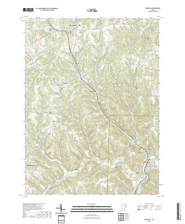
2023 Map of Bergholz
USGS Topo · Published 2023About this map
Bergholz stands at the southeastern corner of this survey, where the township lines of t12n r4w and t13n r4w meet near the winding path of Yellow Creek. This part of eastern Ohio is defined by a dense network of family and community cemeteries, including the Corinth Mechanicstown Cem, Wells-Jackman Cem, and Chestnut Ridge Cem, which serve as vital markers for genealogical research in the region. The landscape is carved by numerous waterways like Elkhorn Creek and Pipes Fork, which create a complex topography of ridges and hollows such as Watson Ridge and Blazer Hollow.
Find a feature on this map
108 named features on this map. Tap any name to fly to it.
Don’t see what you’re looking for? This feature index may not catch every label — zoom into the map to look around manually.
Map Details
Editions of this 2023 Bergholz Map
This is the sole edition of this map. No revisions or reprints were ever made.
Other maps of this area

1901 · Cadiz
USGS Topo · 1:62,500

1902 · Scio
USGS Topo · 1:62,500

1903 · Cadiz
USGS Topo · 1:62,500

1904 · Scio
USGS Topo · 1:62,500

1905 · Salineville
USGS Topo · 1:62,500

1910 · Carrollton
USGS Topo · 1:62,500

1912 · Carrollton
USGS Topo · 1:62,500

1951 · Canton
USGS Topo · 1:250,000

1953 · Canton
USGS Topo · 1:250,000

1957 · Canton
USGS Topo · 1:250,000