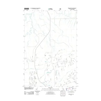
2011 Map of Bergland NE
USGS Topo · Published 2011About this map
The Trap Hills dominate the topography of this section of Ontonagon County, where a dense network of waterways drains northward toward Lake Superior. The Bergland Lookout Tower stands as a primary landmark in a landscape defined by its complex hydrology, featuring the confluence of the Big Iron River and the West Branch Iron River, alongside numerous smaller tributaries like Paystreak Creek and Mourning Creek. Small interior bodies of water including Stanko Lake, Weidman Lake, and the aptly named Sleepy Pond are scattered throughout the lower elevations.
Find a feature on this map
27 named features on this map. Tap any name to fly to it.
Don’t see what you’re looking for? This feature index may not catch every label — zoom into the map to look around manually.
Map Details
Editions of this 2011 Bergland NE Map
This is the sole edition of this map. No revisions or reprints were ever made.
Other maps of this area

1949 · Matchwood NW
USGS Topo · 1:24,000

1949 · White Pine
USGS Topo · 1:24,000

1949 · Bergland NE
USGS Topo · 1:24,000

1955 · Ontonagon
USGS Topo · 1:62,500

1956 · Bergland NE
USGS Topo · 1:24,000

1956 · Bergland
USGS Topo · 1:62,500

1956 · White Pine
USGS Topo · 1:24,000

1956 · Matchwood NW
USGS Topo · 1:24,000

1956 · White Pine
USGS Topo · 1:62,500

1956 · Matchwood
USGS Topo · 1:62,500