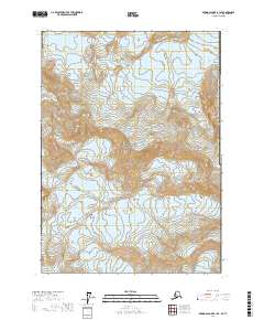
2017 Map of Bering Glacier B-1 SE
USGS Topo · Published 2017About this map
Wrangell-Saint Elias National Park dominates this high-altitude Alaskan landscape, where the jagged peaks of the Saint Elias Mountains rise sharply above glacial ice. The ice-choked terrain is defined by the massive Bering Glacier and the smaller Tyndall Glacier, illustrating the immense scale of the region's cryosphere. High elevation landmarks such as Mt Huxley and the ridge known as The Hump provide the primary orientation points in a wilderness devoid of human settlements or roads. The map also delineates the United States / Canada international boundary as it runs through the Yakutat Borough, tracing the high ridges above Crater Basin. This 2017 survey serves as a precise record of the ice margins and topographic contours in one of North America's most formidable alpine environments.
Find a feature on this map
14 named features on this map. Tap any name to fly to it.
Don’t see what you’re looking for? This feature index may not catch every label — zoom into the map to look around manually.
Map Details
Editions of this 2017 Bering Glacier B-1 SE Map
This is the sole edition of this map. No revisions or reprints were ever made.
Other maps of this area

1950 · Bering Glacier
USGS Topo · 1:250,000

1951 · Bering Glacier
USGS Topo · 1:250,000

1951 · Mt Saint Elias
USGS Topo · 1:250,000

1959 · Bering Glacier
USGS Topo · 1:250,000

1959 · Mt Saint Elias
USGS Topo · 1:250,000
1985 · Bering Glacier B-1
USGS Topo · 1:63,360
1985 · Mount Saint Elias A-8
USGS Topo · 1:63,360
1985 · Mount Saint Elias B-8
USGS Topo · 1:63,360
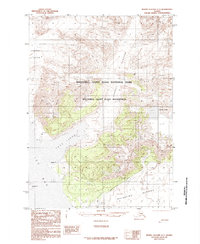
1985 · Bering Glacier A-1
USGS Topo · 1:63,360
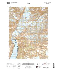
2017 · Bering Glacier A-1 NE
USGS Topo · 1:25,000