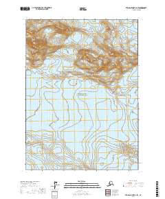
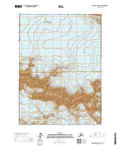
2017 Map of Bering Glacier B-2 SW
USGS Topo · Published 2017About this map
Wrangell-Saint Elias National Park covers the majority of this quadrangle, preserving a landscape defined by massive ice formations. Two primary glacial features dominate the terrain: the expansive Yahtse Glacier, which flows through the central and northern sections, and Guyot Glacier in the southwest. The topographic detail highlights the extreme elevation changes and drainage patterns inherent to this glaciated Alaskan environment. This 2017 survey provides a high-resolution look at the shifting icy margins where these glaciers interact with the surrounding mountains, offering a precise data point for researchers studying the dynamics of the St. Elias Mountains and the ice fields of the Yakutat City and Borough region.
Find a feature on this map
7 named features on this map. Tap any name to fly to it.
Don’t see what you’re looking for? This feature index may not catch every label — zoom into the map to look around manually.
Map Details
Editions of this 2017 Bering Glacier B-2 SW Map
This is the sole edition of this map. No revisions or reprints were ever made.
Other maps of this area

1950 · Bering Glacier A-3
USGS Topo · 1:63,360

1950 · Bering Glacier
USGS Topo · 1:250,000

1951 · Bering Glacier
USGS Topo · 1:250,000

1951 · Bering Glacier A-2
USGS Topo · 1:63,360

1959 · Bering Glacier
USGS Topo · 1:250,000
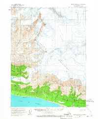
1959 · Bering Glacier A-3
USGS Topo · 1:63,360

1959 · Bering Glacier A-2
USGS Topo · 1:63,360
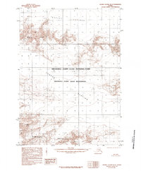
1985 · Bering Glacier B-3
USGS Topo · 1:63,360
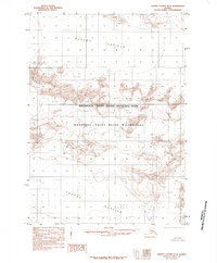
1985 · Bering Glacier B-2
USGS Topo · 1:63,360
2017 · Bering Glacier B-2 NW
USGS Topo · 1:25,000