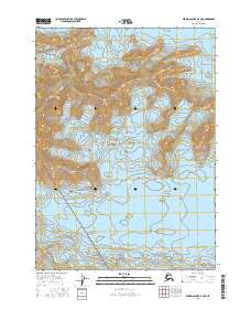
2016 Map of Bering Glacier B-4 NE
USGS Topo · Published 2016About this map
Chugach Mountains peaks dominate this high-altitude landscape in the southeastern corner of the Wrangell-Saint Elias National Park. The map documents a world of ice and rock, where the massive Bering Glacier flows across the northern and western sections, and the Yahtse Glacier occupies the central and eastern reaches. This 2016 survey captures the complex topography of these glacial systems as they were during the early 21st century. Given the lack of human settlements or roads, the map serves primarily as a record of the shifting glacial margins and the stark wilderness boundaries between several township and range sections, including t16s r18e and t17s r19e.
Find a feature on this map
10 named features on this map. Tap any name to fly to it.
Don’t see what you’re looking for? This feature index may not catch every label — zoom into the map to look around manually.
Map Details
Editions of this 2016 Bering Glacier B-4 NE Map
This is the sole edition of this map. No revisions or reprints were ever made.
Other maps of this area

1950 · Bering Glacier
USGS Topo · 1:250,000

1951 · Bering Glacier
USGS Topo · 1:250,000

1959 · Bering Glacier
USGS Topo · 1:250,000
1985 · Bering Glacier B-4
USGS Topo · 1:63,360
1985 · Bering Glacier B-3
USGS Topo · 1:63,360
1985 · Bering Glacier C-4
USGS Topo · 1:63,360
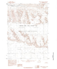
1985 · Bering Glacier C-3
USGS Topo · 1:63,360
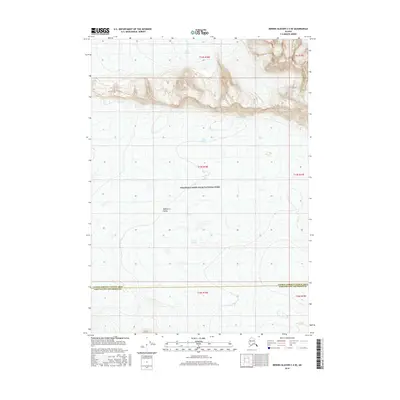
2016 · Bering Glacier C-4 SE
USGS Topo · 1:25,000
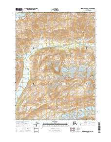
2016 · Bering Glacier B-4 SW
USGS Topo · 1:25,000
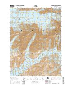
2016 · Bering Glacier B-4 NW
USGS Topo · 1:25,000