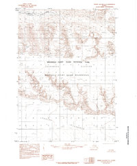
1985 Map of Bering Glacier C-3
USGS Topo · Published 1985About this map
Wrangell - Saint Elias National Park and the adjacent Wrangell - Saint Elias Wilderness dominate this Alaskan landscape, captured during a period of extensive geological study in the mid-1980s. The region is defined by massive glacial systems, most notably the expansive Bagley Icefield at the southern boundary and the Jefferies Glacier flowing through the central portion of the quadrangle. These frozen features shape the terrain into a complex of peaks and valleys, where numerous smaller unnamed Glacier features are identified. Along the northern margins, the ice gives way to exposed geological formations like Granite and areas of Sand, while a lone Creek flows through the upper valleys. This map illustrates the intersection of national conservation lands and the dynamic, ice-dominated geology of the Saint Elias Mountains.
Find a feature on this map
11 named features on this map. Tap any name to fly to it.
Don’t see what you’re looking for? This feature index may not catch every label — zoom into the map to look around manually.
Map Details
Editions of this 1985 Bering Glacier C-3 Map
This is the sole edition of this map. No revisions or reprints were ever made.
Other maps of this area

1950 · Bering Glacier
USGS Topo · 1:250,000

1951 · Bering Glacier
USGS Topo · 1:250,000

1959 · Bering Glacier
USGS Topo · 1:250,000
1984 · Bering Glacier D-2
USGS Topo · 1:63,360

1984 · Bering Glacier D-4
USGS Topo · 1:63,360
1984 · Bering Glacier D-3
USGS Topo · 1:63,360
1985 · Bering Glacier C-2
USGS Topo · 1:63,360
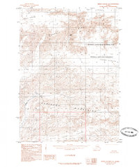
1985 · Bering Glacier B-4
USGS Topo · 1:63,360
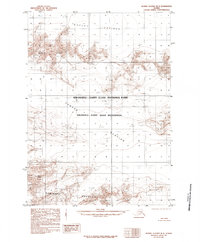
1985 · Bering Glacier B-3
USGS Topo · 1:63,360
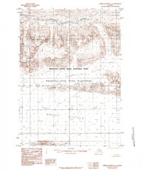
1985 · Bering Glacier C-4
USGS Topo · 1:63,360