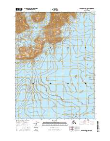
2016 Map of Bering Glacier B-5 NW
USGS Topo · Published 2016About this map
Waxell Ridge dominates the northern elevation of this landscape, its steep contours giving way to the massive expanse of the Bering Glacier to the south. Located near Yakutat, this region represents a dynamic glacial environment where massive ice sheets and high ridges dictate the geography. The map reveals the intricate drainage patterns and topography typical of coastal Alaska, captured here during a 2016 survey. This specific quadrangle covers an area where township and range lines, such as t16s r15e and t17s r15e, overlay a largely uninhabited wilderness, illustrating the reach of the Public Land Survey System into some of the continent's most challenging terrain.
Find a feature on this map
8 named features on this map. Tap any name to fly to it.
Don’t see what you’re looking for? This feature index may not catch every label — zoom into the map to look around manually.
Map Details
Editions of this 2016 Bering Glacier B-5 NW Map
This is the sole edition of this map. No revisions or reprints were ever made.
Other maps of this area

1950 · Bering Glacier
USGS Topo · 1:250,000

1951 · Bering Glacier
USGS Topo · 1:250,000

1959 · Bering Glacier
USGS Topo · 1:250,000
1985 · Bering Glacier B-5
USGS Topo · 1:63,360
1985 · Bering Glacier B-6
USGS Topo · 1:63,360
1985 · Bering Glacier C-5
USGS Topo · 1:63,360
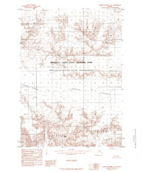
1985 · Bering Glacier C-6
USGS Topo · 1:63,360
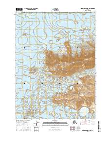
2016 · Bering Glacier B-5 NE
USGS Topo · 1:25,000
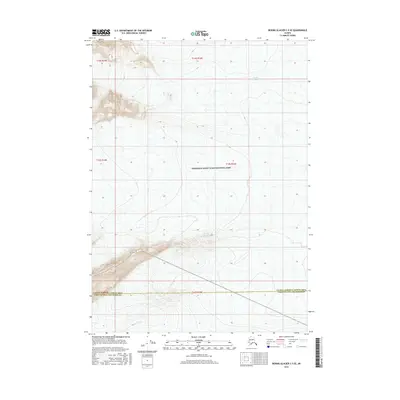
2016 · Bering Glacier C-5 SE
USGS Topo · 1:25,000
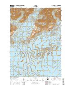
2016 · Bering Glacier B-6 NE
USGS Topo · 1:25,000