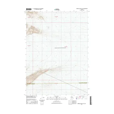
2016 Map of Bering Glacier C-5 SE
USGS Topo · Published 2016About this map
Bering Glacier dominates the southern portion of this landscape, where massive ice fields meet the complex administrative boundary between Valdez-Cordova Census Area and the Yakutat City and Borough. This 2016 survey illustrates the intersection of glacial geography and federal land management within Wrangell-Saint Elias National Park. To the north, the Tana Glacier flows across high-elevation terrain, showing the intricate contour patterns characteristic of Alaska's coastal mountain ranges. The map is a precise record of these shifting ice masses and the vast, uninhabited stretches of protected wilderness where ice and rock define the topography.
Find a feature on this map
4 named features on this map. Tap any name to fly to it.
Don’t see what you’re looking for? This feature index may not catch every label — zoom into the map to look around manually.
Map Details
Editions of this 2016 Bering Glacier C-5 SE Map
This is the sole edition of this map. No revisions or reprints were ever made.
Other maps of this area

1950 · Bering Glacier
USGS Topo · 1:250,000

1951 · Bering Glacier
USGS Topo · 1:250,000

1959 · Bering Glacier
USGS Topo · 1:250,000
1985 · Bering Glacier B-5
USGS Topo · 1:63,360
1985 · Bering Glacier C-5
USGS Topo · 1:63,360
1985 · Bering Glacier B-4
USGS Topo · 1:63,360
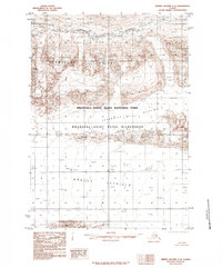
1985 · Bering Glacier C-4
USGS Topo · 1:63,360
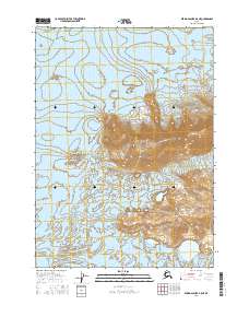
2016 · Bering Glacier B-5 NE
USGS Topo · 1:25,000
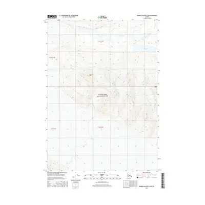
2016 · Bering Glacier C-5 NE
USGS Topo · 1:25,000
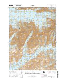
2016 · Bering Glacier B-4 NW
USGS Topo · 1:25,000