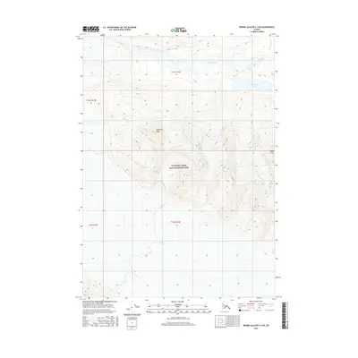
2016 Map of Bering Glacier C-5 NE
USGS Topo · Published 2016About this map
Wrangell-Saint Elias National Park encompasses this expansive glacial landscape in the early twenty-first century. The topography is dominated by the massive Tana Glacier, which flows through the center of the sheet, carving out wide valleys between high-elevation landmarks. To the north, Thompson Ridge stands as a prominent divide, while Needle Mtn marks the eastern interior. The hydrologic network is defined by glacial runoff, including Granite Creek and Twentymile Cr, which feed into localized basins such as Ross Green Lake. This survey illustrates the immense scale of the Alaskan wilderness, where natural features dictate the geography in the absence of any road infrastructure or permanent settlements, within the Public Land Survey System grids of t13s r16e and t14s r16e.
Find a feature on this map
11 named features on this map. Tap any name to fly to it.
Don’t see what you’re looking for? This feature index may not catch every label — zoom into the map to look around manually.
Map Details
Editions of this 2016 Bering Glacier C-5 NE Map
This is the sole edition of this map. No revisions or reprints were ever made.
Other maps of this area

1950 · Bering Glacier
USGS Topo · 1:250,000

1951 · Bering Glacier
USGS Topo · 1:250,000

1959 · Bering Glacier
USGS Topo · 1:250,000

1984 · Bering Glacier D-4
USGS Topo · 1:63,360

1984 · Bering Glacier D-5
USGS Topo · 1:63,360
1985 · Bering Glacier C-5
USGS Topo · 1:63,360
1985 · Bering Glacier C-4
USGS Topo · 1:63,360
2016 · Bering Glacier D-5 SW
USGS Topo · 1:25,000
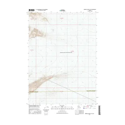
2016 · Bering Glacier C-5 SE
USGS Topo · 1:25,000
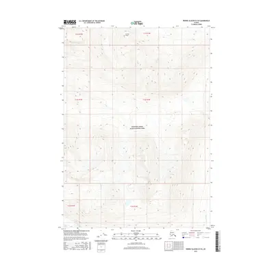
2016 · Bering Glacier D-5 SE
USGS Topo · 1:25,000