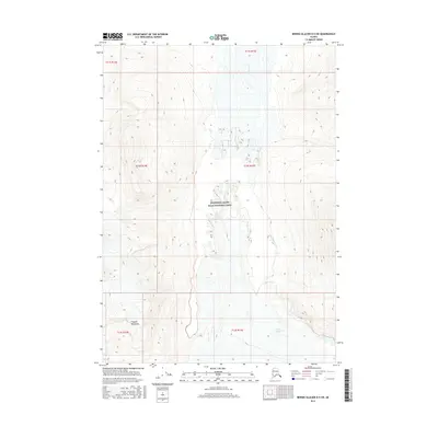
2016 Map of Bering Glacier D-5 SW
USGS Topo · Published 2016About this map
Wrangell-Saint Elias National Park encompasses much of this wilderness landscape, where the extreme topography of the Chugach Mountains meets a complex network of glacial ice and high-altitude drainage systems. The survey documents a dramatic glacial environment, specifically the terminus area and lateral moraines where the Tana Glacier feeds into the local hydrology. This 2016 data reveals the intricate relationship between moving ice and the carved valleys that direct the flow of the Tana River and its tributary, Granite Cr. The map is particularly useful for geomorphologists and researchers studying the shifting boundaries of Alaskan ice fields and the high-relief terrain of the eastern Chugach range, where elevation changes are rapid and extreme.
Find a feature on this map
11 named features on this map. Tap any name to fly to it.
Don’t see what you’re looking for? This feature index may not catch every label — zoom into the map to look around manually.
Map Details
Editions of this 2016 Bering Glacier D-5 SW Map
This is the sole edition of this map. No revisions or reprints were ever made.
Other maps of this area

1950 · Bering Glacier
USGS Topo · 1:250,000

1951 · Bering Glacier
USGS Topo · 1:250,000

1959 · Bering Glacier
USGS Topo · 1:250,000
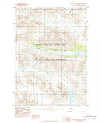
1984 · Bering Glacier D-6
USGS Topo · 1:63,360

1984 · Bering Glacier D-5
USGS Topo · 1:63,360
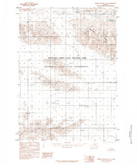
1985 · Bering Glacier C-5
USGS Topo · 1:63,360
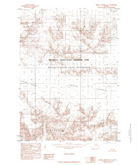
1985 · Bering Glacier C-6
USGS Topo · 1:63,360
2016 · Bering Glacier D-6 NE
USGS Topo · 1:25,000
2016 · Bering Glacier C-5 NE
USGS Topo · 1:25,000
2016 · Bering Glacier D-5 SE
USGS Topo · 1:25,000