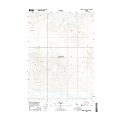
2016 Map of Bering Glacier D-6 NE
USGS Topo · Published 2016About this map
Wrangell-Saint Elias National Park encompasses the vast majority of this landscape in the Alaskan interior, showing a region defined by high-elevation glacial terrain and dramatic relief. The southern portion of the map is dominated by the braided glacial drainage of the West Fork Tana River, which flows through a broad valley floor at the base of steep mountain slopes. This 2016 survey provides a precise look at the glaciated topography of the Unorganized Borough, where the intricate contour lines illustrate the sharp divide between the river basin and the surrounding alpine summits. The lack of roads or established settlements emphasizes the wilderness character of the park's interior, providing a foundational record for those studying the geomorphology and hydrology of the Tana River's upper reaches.
Find a feature on this map
6 named features on this map. Tap any name to fly to it.
Don’t see what you’re looking for? This feature index may not catch every label — zoom into the map to look around manually.
Map Details
Editions of this 2016 Bering Glacier D-6 NE Map
This is the sole edition of this map. No revisions or reprints were ever made.
Other maps of this area

1950 · Bering Glacier
USGS Topo · 1:250,000

1951 · McCarthy
USGS Topo · 1:250,000

1951 · Bering Glacier
USGS Topo · 1:250,000

1959 · McCarthy A-5
USGS Topo · 1:63,360

1959 · McCarthy A-6
USGS Topo · 1:63,360

1959 · Bering Glacier
USGS Topo · 1:250,000

1960 · McCarthy
USGS Topo · 1:250,000
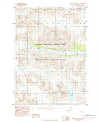
1984 · Bering Glacier D-6
USGS Topo · 1:63,360

1984 · Bering Glacier D-5
USGS Topo · 1:63,360

1994 · McCarthy A-6
USGS Topo · 1:63,360