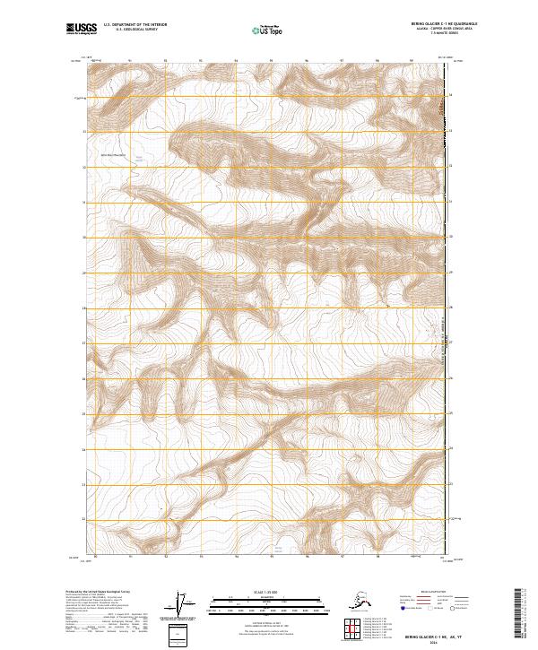
2024 Map of Bering Glacier C-1 NE
USGS Topo · Published 2024About this map
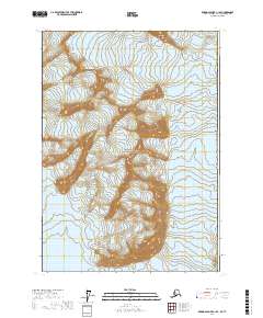
The high-altitude peaks of the Saint Elias Mountains dominate this 2024 survey, capturing a rugged landscape defined by glacial activity and protected territory. Much of the terrain falls within the Wrangell St Elias Wilderness, a remote preserve where the massive icy tongues of the Logan Glacier and Bering Glacier carve through steep mountain valleys. The map documents the international border where the United States of America Canada boundary runs along the eastern edge of the quadrangle. This area serves as a critical document of modern glaciology, illustrating the drainage patterns and topographic relief of one of the most glaciated regions in North America. The lack of human infrastructure or settlements highlights the isolation and preserved natural state of this subarctic wilderness.
Find a feature on this map
9 named features on this map. Tap any name to fly to it.
Don’t see what you’re looking for? This feature index may not catch every label — zoom into the map to look around manually.
Map Details
Editions of this 2024 Bering Glacier C-1 NE Map
This is the sole edition of this map. No revisions or reprints were ever made.
Other maps of this area

1950 · Bering Glacier
USGS Topo · 1:250,000

1951 · Bering Glacier
USGS Topo · 1:250,000

1951 · Mt Saint Elias
USGS Topo · 1:250,000

1959 · Bering Glacier
USGS Topo · 1:250,000

1959 · Mt Saint Elias
USGS Topo · 1:250,000
1984 · Bering Glacier D-1
USGS Topo · 1:63,360
1985 · Bering Glacier C-1
USGS Topo · 1:63,360
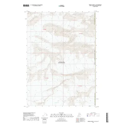
2017 · Bering Glacier C-1 NE
USGS Topo · 1:25,000
2017 · Bering Glacier C-1 SE
USGS Topo · 1:25,000
2017 · Bering Glacier C-1 SW
USGS Topo · 1:25,000