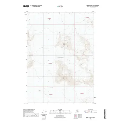
2017 Map of Bering Glacier C-2 SW
USGS Topo · Published 2017About this map
The Chugach Mountains dominate this 2017 survey, where glacial movement and ice fields define the high-altitude landscape. Located within the massive wilderness of Wrangell-Saint Elias National Park, the sheet documents the intricate contours of the Jefferies Glacier as it descends from the peaks, alongside the broad expanse of the Tana Glacier. To the south, the topographic data captures the vast Bagley Ice Valley, a critical corridor for glacial flow in this part of Alaska. This modern record provides a precise baseline for the ice extent and mountain geography of the Valdez-Cordova Census Area, serving researchers tracking glacial change and climbers navigating these remote summits.
Find a feature on this map
12 named features on this map. Tap any name to fly to it.
Don’t see what you’re looking for? This feature index may not catch every label — zoom into the map to look around manually.
Map Details
Editions of this 2017 Bering Glacier C-2 SW Map
This is the sole edition of this map. No revisions or reprints were ever made.
Other maps of this area
1950 · Bering Glacier
USGS Topo · 1:250,000
1951 · Bering Glacier
USGS Topo · 1:250,000
1959 · Bering Glacier
USGS Topo · 1:250,000
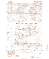
1985 · Bering Glacier C-2
USGS Topo · 1:63,360
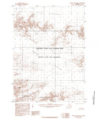
1985 · Bering Glacier B-3
USGS Topo · 1:63,360
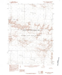
1985 · Bering Glacier B-2
USGS Topo · 1:63,360
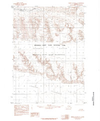
1985 · Bering Glacier C-3
USGS Topo · 1:63,360
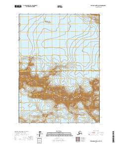
2017 · Bering Glacier B-2 NW
USGS Topo · 1:25,000
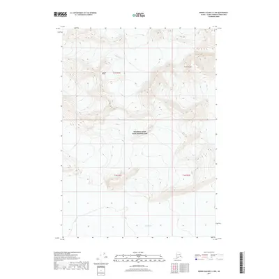
2017 · Bering Glacier C-2 NW
USGS Topo · 1:25,000
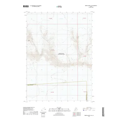
2017 · Bering Glacier C-3 SE
USGS Topo · 1:25,000