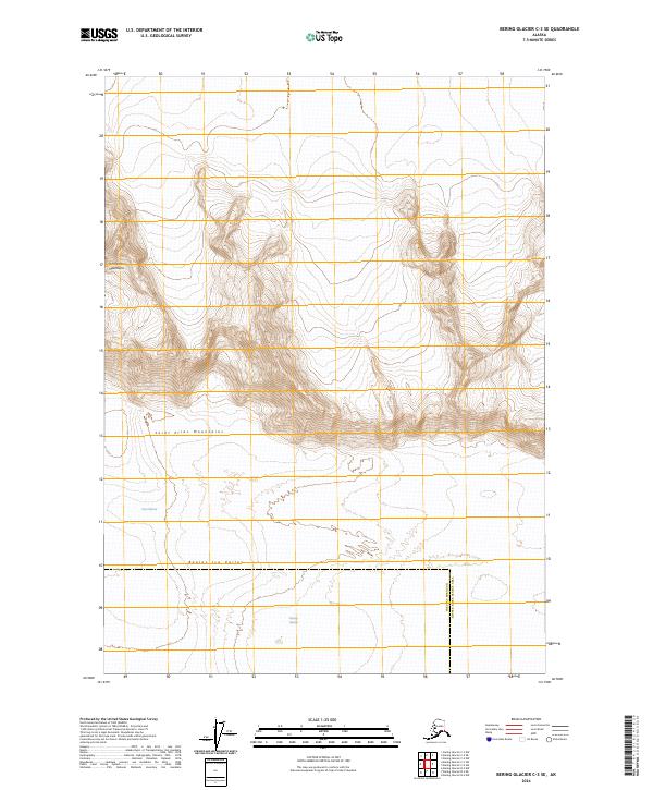
2024 Map of Bering Glacier C-3 SE
USGS Topo · Published 2024About this map
The Wrangell-St. Elias Wilderness spans a formidable glaciated corridor in this modern survey, where the convergence of the Chugach and Saint Elias Mountains creates some of the most dramatic topographic relief in the region. The landscape is defined by massive glacial flows and high-altitude ice fields, notably the broad expanse of the Bagley Ice Valley which dominates the southern half of the quadrangle. Moving north, the terrain gives way to the ice-carved textures of the Tana Glacier. This map provides a precise record of contemporary ice margins and alpine hydrology, essential for researchers tracking the physical transformation of the Alaskan backcountry. The lack of any man-made structures or roads emphasizes the protected status and extreme environment of this wilderness area.
Find a feature on this map
10 named features on this map. Tap any name to fly to it.
Don’t see what you’re looking for? This feature index may not catch every label — zoom into the map to look around manually.
Map Details
Editions of this 2024 Bering Glacier C-3 SE Map
This is the sole edition of this map. No revisions or reprints were ever made.
Other maps of this area

1950 · Bering Glacier
USGS Topo · 1:250,000

1951 · Bering Glacier
USGS Topo · 1:250,000

1959 · Bering Glacier
USGS Topo · 1:250,000
1985 · Bering Glacier C-2
USGS Topo · 1:63,360
1985 · Bering Glacier B-3
USGS Topo · 1:63,360
1985 · Bering Glacier B-2
USGS Topo · 1:63,360
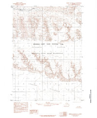
1985 · Bering Glacier C-3
USGS Topo · 1:63,360
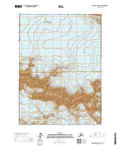
2017 · Bering Glacier B-2 NW
USGS Topo · 1:25,000
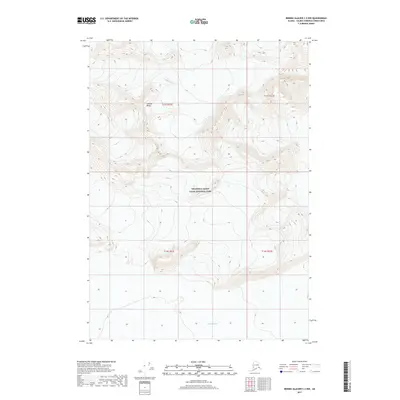
2017 · Bering Glacier C-2 NW
USGS Topo · 1:25,000
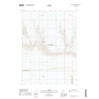
2017 · Bering Glacier C-3 SE
USGS Topo · 1:25,000