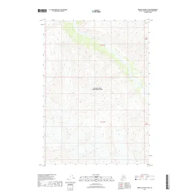
2017 Map of Bering Glacier D-3 NW
USGS Topo · Published 2017About this map
Wrangell-Saint Elias National Park encompasses the entirety of this landscape, where the high-altitude terrain of the Alaska wilderness is documented in meticulous detail. The drainage of Goat Creek serves as a primary geographical marker in the northern and eastern portions of the map, carving through the steep contour intervals of the Saint Elias Mountains. This 2017 survey reflects the modern cartographic state of one of the most protected and inaccessible regions of the Unorganized Borough, providing a precise record of glacial and alpine topography within the nation's largest national park. The survey is framed by the legal boundaries of t10s r19e and t11s r19e, which provide the underlying Public Land Survey System structure for this vast protected wilderness.
Find a feature on this map
6 named features on this map. Tap any name to fly to it.
Don’t see what you’re looking for? This feature index may not catch every label — zoom into the map to look around manually.
Map Details
Editions of this 2017 Bering Glacier D-3 NW Map
This is the sole edition of this map. No revisions or reprints were ever made.
Other maps of this area
1950 · Bering Glacier
USGS Topo · 1:250,000
1951 · McCarthy
USGS Topo · 1:250,000
1951 · Bering Glacier
USGS Topo · 1:250,000
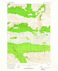
1959 · McCarthy A-4
USGS Topo · 1:63,360
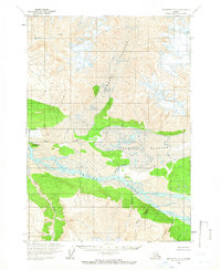
1959 · McCarthy A-3
USGS Topo · 1:63,360
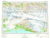
1959 · Bering Glacier
USGS Topo · 1:250,000
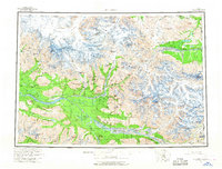
1960 · McCarthy
USGS Topo · 1:250,000
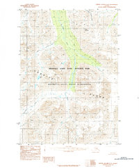
1984 · Bering Glacier D-4
USGS Topo · 1:63,360
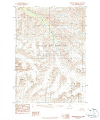
1984 · Bering Glacier D-3
USGS Topo · 1:63,360
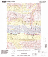
1994 · McCarthy A-4
USGS Topo · 1:63,360