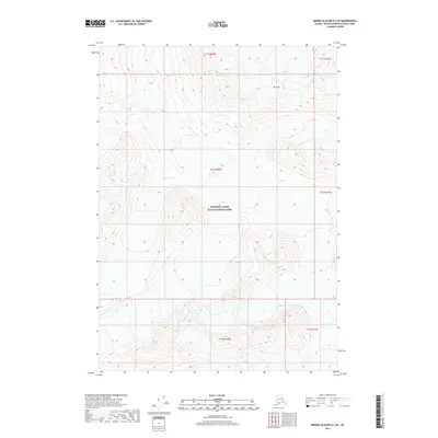
2017 Map of Bering Glacier D-3 SE
USGS Topo · Published 2017About this map
Wrangell-Saint Elias National Park dominates this mountainous landscape, preserving a vast interior wilderness in the Valdez-Cordova Census Area. The topography is defined by extreme elevation changes, peaking at Mt Gage in the northern section of the quadrangle. As a modern survey, this sheet provides a high-resolution look at the high-altitude terrain and land divisions, including t11s r20e, t12s r20e, and t13s r20e. The absence of roads or developed settlements highlights the isolation of this protected region, making it an essential reference for understanding the physical geography and administrative boundaries of Alaska's largest national park.
Find a feature on this map
8 named features on this map. Tap any name to fly to it.
Don’t see what you’re looking for? This feature index may not catch every label — zoom into the map to look around manually.
Map Details
Editions of this 2017 Bering Glacier D-3 SE Map
This is the sole edition of this map. No revisions or reprints were ever made.
Other maps of this area

1950 · Bering Glacier
USGS Topo · 1:250,000

1951 · Bering Glacier
USGS Topo · 1:250,000

1959 · Bering Glacier
USGS Topo · 1:250,000
1984 · Bering Glacier D-2
USGS Topo · 1:63,360
1984 · Bering Glacier D-3
USGS Topo · 1:63,360
1985 · Bering Glacier C-2
USGS Topo · 1:63,360
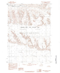
1985 · Bering Glacier C-3
USGS Topo · 1:63,360
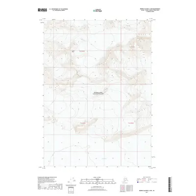
2017 · Bering Glacier C-2 NW
USGS Topo · 1:25,000
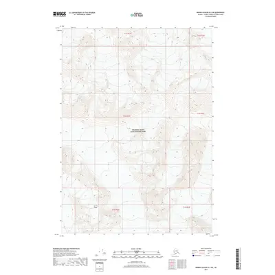
2017 · Bering Glacier D-2 SW
USGS Topo · 1:25,000
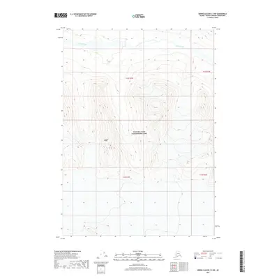
2017 · Bering Glacier C-3 NW
USGS Topo · 1:25,000