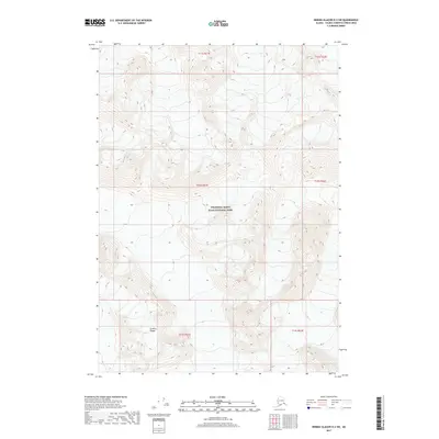
2017 Map of Bering Glacier D-2 SW
USGS Topo · Published 2017About this map
The Granite Range dominates this landscape within the vast protected wilderness of Wrangell-Saint Elias National Park. Located in the Unorganized Borough of Alaska, this territory is defined by extreme relief and complex topography, captured in this 2017 study. The absence of roads, settlements, or named structures highlights the area’s primary character as a high-altitude natural preserve. Map collectors and researchers will find the Public Land Survey System grids, including t12s r21e and t13s r22e, superimposed over the natural contours, illustrating how human administrative boundaries are laid across some of the most formidable terrain in North America. This particular section of the Wrangell Mountains exhibits the stark, unpopulated character of the Alaskan interior where surveying and mapping agencies rely on advanced imagery to document remote peaks.
Find a feature on this map
8 named features on this map. Tap any name to fly to it.
Don’t see what you’re looking for? This feature index may not catch every label — zoom into the map to look around manually.
Map Details
Editions of this 2017 Bering Glacier D-2 SW Map
This is the sole edition of this map. No revisions or reprints were ever made.
Other maps of this area

1950 · Bering Glacier
USGS Topo · 1:250,000

1951 · Bering Glacier
USGS Topo · 1:250,000

1959 · Bering Glacier
USGS Topo · 1:250,000
1984 · Bering Glacier D-2
USGS Topo · 1:63,360
1984 · Bering Glacier D-3
USGS Topo · 1:63,360
1985 · Bering Glacier C-2
USGS Topo · 1:63,360
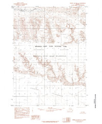
1985 · Bering Glacier C-3
USGS Topo · 1:63,360
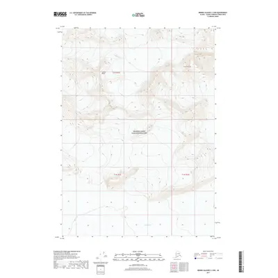
2017 · Bering Glacier C-2 NW
USGS Topo · 1:25,000
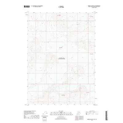
2017 · Bering Glacier D-3 SE
USGS Topo · 1:25,000
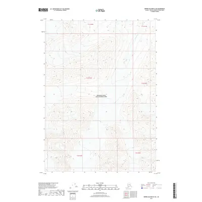
2017 · Bering Glacier D-2 SE
USGS Topo · 1:25,000