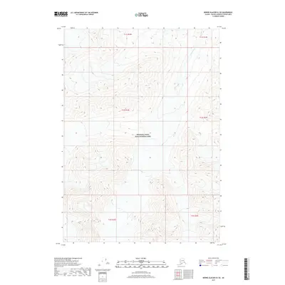
2017 Map of Bering Glacier D-2 SE
USGS Topo · Published 2017About this map
Wrangell-Saint Elias National Park encompasses the majority of this landscape, which is defined by extreme elevation changes and high mountain peaks. The Chitina River cuts through the northeast corner, serving as the primary drainage for the surrounding glacial terrain. Surveyed in 2017, this map illustrates the vast, undeveloped character of the Alaska interior, where the Public Land Survey System grid lines of Township 11 South, Range 22 East and surrounding townships are the only human-imposed markers on the topography. The contour lines, set at 80-foot intervals, reveal a complex series of ridges and basins that represent a portion of one of the largest protected wilderness areas in the United States.
Find a feature on this map
8 named features on this map. Tap any name to fly to it.
Don’t see what you’re looking for? This feature index may not catch every label — zoom into the map to look around manually.
Map Details
Editions of this 2017 Bering Glacier D-2 SE Map
This is the sole edition of this map. No revisions or reprints were ever made.
Other maps of this area

1950 · Bering Glacier
USGS Topo · 1:250,000

1951 · Bering Glacier
USGS Topo · 1:250,000

1959 · Bering Glacier
USGS Topo · 1:250,000
1984 · Bering Glacier D-2
USGS Topo · 1:63,360
1984 · Bering Glacier D-1
USGS Topo · 1:63,360
1985 · Bering Glacier C-2
USGS Topo · 1:63,360
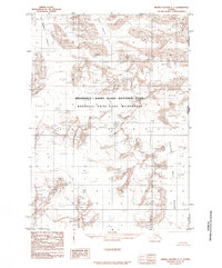
1985 · Bering Glacier C-1
USGS Topo · 1:63,360
2017 · Bering Glacier C-2 NW
USGS Topo · 1:25,000
2017 · Bering Glacier D-2 SW
USGS Topo · 1:25,000
2017 · Bering Glacier C-1 NW
USGS Topo · 1:25,000