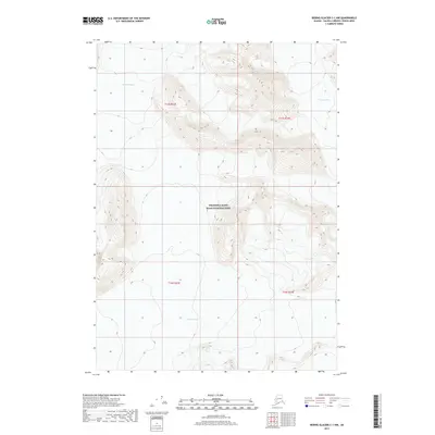
2017 Map of Bering Glacier C-1 NW
USGS Topo · Published 2017About this map
Wrangell-Saint Elias National Park protects the immense glaciated terrain of this remote Alaskan interior. The landscape is defined by massive ice flows, including the prominent Baldwin Glacier to the northwest and the Fraser Glacier in the northeast corner of the sheet. Between these frozen giants, the topography rises into steep, unnamed ridges with elevations exceeding 10,000 feet, where the ice begins to transition into the drainage of the Jefferies Glacier to the south. This 2017 survey documents the precise margins of these glaciers at a specific moment in time, providing a clear record of ice extent and contour before further seasonal shifts occur. The land is characterized by its isolation and the sheer scale of its geological features, with no roads or permanent structures present, leaving the survey lines and public land divisions as the only human-imposed markings on this mountain wilderness.
Find a feature on this map
8 named features on this map. Tap any name to fly to it.
Don’t see what you’re looking for? This feature index may not catch every label — zoom into the map to look around manually.
Map Details
Editions of this 2017 Bering Glacier C-1 NW Map
This is the sole edition of this map. No revisions or reprints were ever made.
Other maps of this area

1950 · Bering Glacier
USGS Topo · 1:250,000

1951 · Bering Glacier
USGS Topo · 1:250,000

1959 · Bering Glacier
USGS Topo · 1:250,000
1984 · Bering Glacier D-2
USGS Topo · 1:63,360
1984 · Bering Glacier D-1
USGS Topo · 1:63,360
1985 · Bering Glacier C-2
USGS Topo · 1:63,360
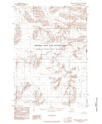
1985 · Bering Glacier C-1
USGS Topo · 1:63,360
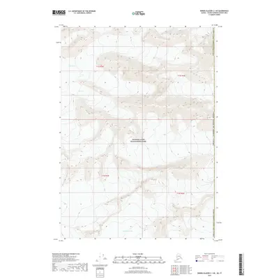
2017 · Bering Glacier C-1 NE
USGS Topo · 1:25,000
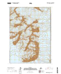
2017 · Bering Glacier C-1 SE
USGS Topo · 1:25,000
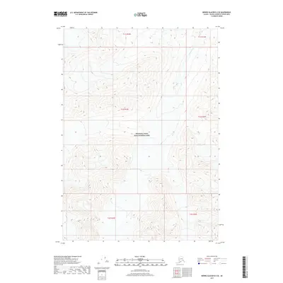
2017 · Bering Glacier D-2 SE
USGS Topo · 1:25,000