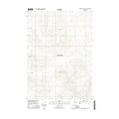
2016 Map of Bering Glacier D-4 NW
USGS Topo · Published 2016About this map
Wrangell-Saint Elias National Park encompasses the high-altitude terrain of this 2016 survey, where steep contour lines reveal a complex network of glacial valleys and alpine ridges. The landscape is defined by the drainage patterns of the Kiagna River and Martin Cr, which carve through the wilderness of the Unorganized Borough. This region represents a pristine example of the northern coastal mountain environment before significant human development. In the southern portion of the map, the small, isolated Slender Lake sits at the head of Bearhole Cr, providing a rare still-water feature among the high-relief slopes. The map also includes township and range designations, such as t10s r17e, which help orient researchers within the sprawling park boundaries.
Find a feature on this map
9 named features on this map. Tap any name to fly to it.
Don’t see what you’re looking for? This feature index may not catch every label — zoom into the map to look around manually.
Map Details
Editions of this 2016 Bering Glacier D-4 NW Map
This is the sole edition of this map. No revisions or reprints were ever made.
Other maps of this area
1950 · Bering Glacier
USGS Topo · 1:250,000
1951 · McCarthy
USGS Topo · 1:250,000
1951 · Bering Glacier
USGS Topo · 1:250,000
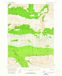
1959 · McCarthy A-4
USGS Topo · 1:63,360
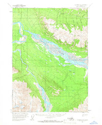
1959 · McCarthy A-5
USGS Topo · 1:63,360
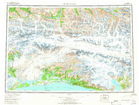
1959 · Bering Glacier
USGS Topo · 1:250,000
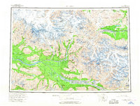
1960 · McCarthy
USGS Topo · 1:250,000
1984 · Bering Glacier D-4
USGS Topo · 1:63,360
1984 · Bering Glacier D-5
USGS Topo · 1:63,360
1994 · McCarthy A-4
USGS Topo · 1:63,360