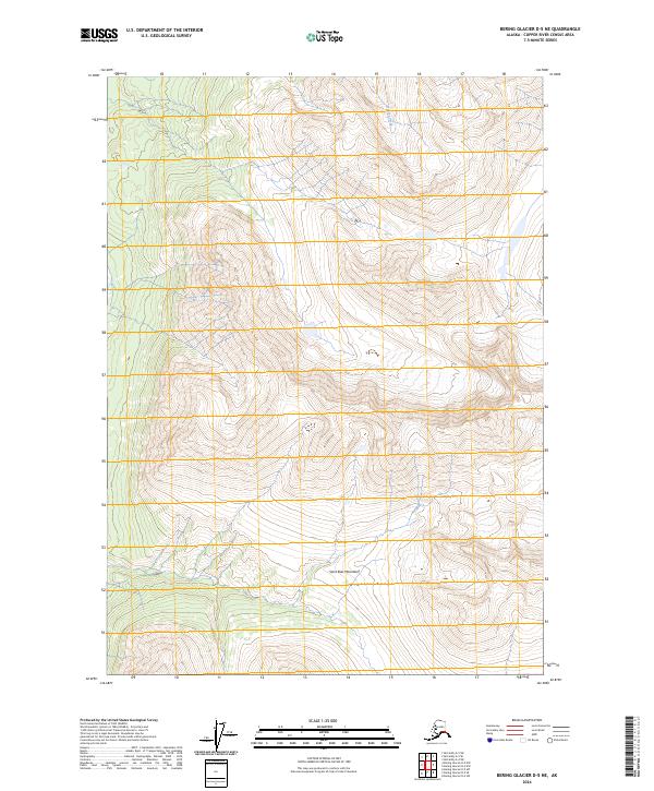
2024 Map of Bering Glacier D-5 NE
USGS Topo · Published 2024About this map
The Saint Elias Mountains dominate this landscape, showcasing the immense scale of the high-altitude terrain within the Wrangell-St. Elias Wilderness. This 2024 map documents the topographic intricacies of the Granite Range as it reaches southeast toward the Copper River Census Area. The drainage patterns are defined by high-elevation runoff, most notably seen at Hunter Creek, which carves through the northern sections of the map. This survey provides a baseline of contemporary wilderness boundaries, including the intersections of t10s r15e and t11s r16e, capturing the area as it exists today before the continued effects of glacial recession and geological shifting further alter these high-country formations.
Find a feature on this map
9 named features on this map. Tap any name to fly to it.
Don’t see what you’re looking for? This feature index may not catch every label — zoom into the map to look around manually.
Map Details
Editions of this 2024 Bering Glacier D-5 NE Map
This is the sole edition of this map. No revisions or reprints were ever made.
Other maps of this area

1950 · Bering Glacier
USGS Topo · 1:250,000

1951 · McCarthy
USGS Topo · 1:250,000

1951 · Bering Glacier
USGS Topo · 1:250,000

1959 · McCarthy A-4
USGS Topo · 1:63,360

1959 · McCarthy A-5
USGS Topo · 1:63,360

1959 · Bering Glacier
USGS Topo · 1:250,000

1960 · McCarthy
USGS Topo · 1:250,000

1984 · Bering Glacier D-4
USGS Topo · 1:63,360

1984 · Bering Glacier D-5
USGS Topo · 1:63,360
1994 · McCarthy A-4
USGS Topo · 1:63,360