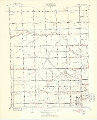
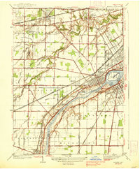
1951 Map of Berkey
USGS Topo · Published 1952About this map
The drainage network of the Northwest Ohio and Southeast Michigan borderlands defines the character of this 1951 landscape. Settlements like Richfield Center and Berkey serve as rural hubs in a region dominated by a meticulously engineered system of agricultural waterways, including the Prairie Ditch, Langenderfer Ditch, and Silberhorn Ditch. This web of ditches illustrates the historical effort to manage the flat, seasonally wet terrain of the Black Swamp periphery for productive farming.
Find a feature on this map
80 named features on this map. Tap any name to fly to it.
Don’t see what you’re looking for? This feature index may not catch every label — zoom into the map to look around manually.
Map Details
Editions of this 1951 Berkey Map
3 editions found
Other maps of this area

1900 · Toledo
USGS Topo · 1:62,500

1911 · Swanton
USGS Topo · 1:62,500

1912 · Dundee
USGS Topo · 1:62,500

1914 · Swanton
USGS Topo · 1:62,500

1926 · Dundee
USGS Topo · 1:62,500

1935 · Whitehouse
USGS Topo · 1:24,000

1935 · Maumee
USGS Topo · 1:24,000

1935 · Berkey
USGS Topo · 1:24,000
1937 · Sylvania
USGS Topo · 1:31,680
1938 · Maumee
USGS Topo · 1:31,680