
1956 Map of Bermont
USGS Topo · Published 1957About this map
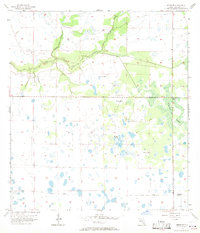
Shell Creek meanders through the heart of this mid-century Florida landscape, joined by the slow-moving waters of Cypress Slough and Myrtle Slough. The terrain is defined by its low-lying hydrology, dominated to the southeast by the expansive Telegraph Swamp. The small settlement of Bermont serves as the primary landmark in an area otherwise characterized by scattered water features and numerous Flowing Wells. An intriguing detail for local historians is the Old Railroad Grade cutting across the southern portion of the quadrangle, marking a former path of commerce and transit through Charlotte County before the modern highway system took precedence. The survey captures a moment when the region's development was still closely tied to its natural drainage patterns and early industrial corridors.
Find a feature on this map
9 named features on this map. Tap any name to fly to it.
Don’t see what you’re looking for? This feature index may not catch every label — zoom into the map to look around manually.
Map Details
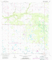
Editions of this 1956 Bermont Map
3 editions found
Other maps of this area

1956 · Arcadia SE
USGS Topo · 1:24,000

1956 · Telegraph Swamp
USGS Topo · 1:24,000

1956 · Cleveland
USGS Topo · 1:24,000

1956 · Telegraph Swamp NW
USGS Topo · 1:24,000

1956 · Ft. Ogden
USGS Topo · 1:24,000

1956 · Long Island Marsh SW
USGS Topo · 1:24,000

1956 · West Palm Beach
USGS Topo · 1:250,000

1956 · Fort Pierce
USGS Topo · 1:250,000

1957 · West Palm Beach
USGS Topo · 1:250,000

1957 · Tuckers Corner
USGS Topo · 1:24,000