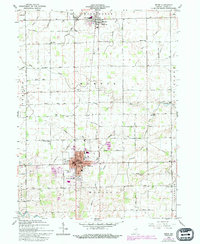
1911 Map of Berne
USGS Topo · Published 1911About this map
Willshire anchors the northern reaches of this survey along the St Marys River, where the landscape transitions across the state line into Indiana. This 1911 advance sheet, surveyed by W.N. Vance, documents a rural borderland defined by a dense network of district schools and country churches. The distribution of sites like Wildcat School, Forest Hill School, and Duck Creek School No 4 reflects the established township structure of Liberty and Black Creek during the early twentieth century.
Find a feature on this map
34 named features on this map. Tap any name to fly to it.
Don’t see what you’re looking for? This feature index may not catch every label — zoom into the map to look around manually.
Map Details
Editions of this 1911 Berne Map
This is the sole edition of this map. No revisions or reprints were ever made.