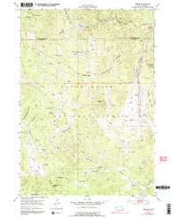
1954 Map of Berne
USGS Topo · Published 1991About this map
The Black Hills National Forest landscape shown here, documented in the early 1950s, reveals a rugged terrain defined by timber management and resource extraction. At the eastern edge, Berne sits along the Burlington and Quincy Chicago railroad, serving as a focal point for the surrounding mountainous area. The map identifies significant early progress on the Thunderhead Mountain Crazy Horse Carvings, a massive stone sculpture project begun just years before these aerial photographs were taken.
Find a feature on this map
41 named features on this map. Tap any name to fly to it.
Don’t see what you’re looking for? This feature index may not catch every label — zoom into the map to look around manually.
Map Details
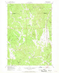
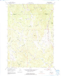
Editions of this 1954 Berne Map
4 editions found
Other maps of this area

1896 · Harney Peak
USGS Topo · 1:125,000

1901 · Harney Peak
USGS Topo · 1:125,000

1954 · Fourmile
USGS Topo · 1:24,000

1954 · Custer
USGS Topo · 1:24,000

1954 · Hill City
USGS Topo · 1:24,000

1954 · Berne
USGS Topo · 1:24,000

1955 · Jewel Cave
USGS Topo · 1:24,000

1955 · Signal Hill
USGS Topo · 1:24,000
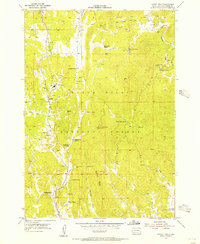
1955 · Cicero Peak
USGS Topo · 1:24,000

1955 · Hot Springs
USGS Topo · 1:250,000