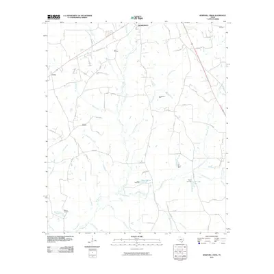
2010 Map of Berryhill Creek
USGS Topo · Published 2010About this map
Henderson serves as the primary hub at the northern edge of this Rusk County landscape, which transitions into a dense network of creeks and small private reservoirs. The Angelina River meanders across the southern portion of the quadrangle, joined by numerous tributaries including Chinquapin Creek, Barnhardt Creek, and Sawmill Branch. These watercourses are frequently interrupted by small-scale engineering projects such as Youngblood Dam, Eaton Lake Dam, and the J A Morris Dam, reflecting the region's managed water resources for local agriculture and recreation.
Find a feature on this map
76 named features on this map. Tap any name to fly to it.
Don’t see what you’re looking for? This feature index may not catch every label — zoom into the map to look around manually.
Map Details
Editions of this 2010 Berryhill Creek Map
This is the sole edition of this map. No revisions or reprints were ever made.
Other maps of this area

1935 · Henderson
USGS Topo · 1:48,000

1939 · Henderson
USGS Topo · 1:62,500

1943 · Cushing
USGS Topo · 1:62,500

1945 · Cushing
USGS Topo · 1:62,500

1953 · Palestine
USGS Topo · 1:250,000

1956 · Tyler
USGS Topo · 1:250,000

1957 · Palestine
USGS Topo · 1:250,000

1960 · Minden
USGS Topo · 1:62,500

1960 · Mount Enterprise
USGS Topo · 1:62,500

1973 · Henderson
USGS Topo · 1:24,000