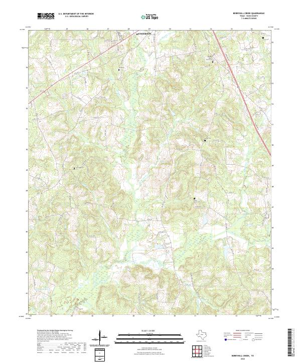
2022 Map of Berryhill Creek
USGS Topo · Published 2022About this map
Henderson marks the northern edge of this Rusk County landscape, where the terrain begins a slow descent toward the headwaters of the Angelina River. The area is characterized by a dense network of tributaries, including the winding Berryhill Cr and Shawnee Cr, which feed into the river basin near Shelton Lake and Eaton Lake. This topography shaped the early settlement patterns of the region, visible through the numerous family and community burial grounds that dot the countryside. Researchers will find significant genealogical sites such as the Ebenezer Baptist Church Cem and Lockridge Cem. The transition from rural roads like FM 225 S to the more structured grid of Railroad St near the town center highlights the historical importance of transportation corridors in connecting these East Texas communities.
Find a feature on this map
87 named features on this map. Tap any name to fly to it.
Don’t see what you’re looking for? This feature index may not catch every label — zoom into the map to look around manually.
Map Details
Editions of this 2022 Berryhill Creek Map
This is the sole edition of this map. No revisions or reprints were ever made.
Other maps of this area

1935 · Henderson
USGS Topo · 1:48,000

1939 · Henderson
USGS Topo · 1:62,500

1943 · Cushing
USGS Topo · 1:62,500

1945 · Cushing
USGS Topo · 1:62,500

1953 · Palestine
USGS Topo · 1:250,000

1956 · Tyler
USGS Topo · 1:250,000

1957 · Palestine
USGS Topo · 1:250,000

1960 · Minden
USGS Topo · 1:62,500

1960 · Mount Enterprise
USGS Topo · 1:62,500

1973 · Henderson
USGS Topo · 1:24,000