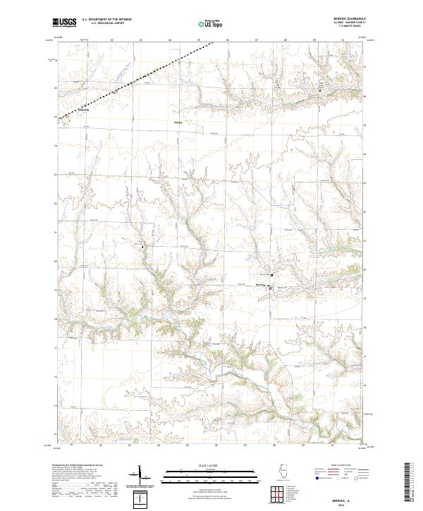
2024 Map of Berwick
USGS Topo · Published 2024About this map
Berwick stands as the primary settlement in this section of Warren County, positioned where Berwick Rd intersects with Co Hwy 15. The landscape is defined by the dendritic drainage patterns of Cedar Creek and its tributaries, which carve through the agricultural tableland. Smaller hamlets like Ormonde and Phelps are situated along the rectilinear grid of county roads and avenues, reflecting the enduring legacy of the Public Land Survey System in the Illinois prairie.
Find a feature on this map
45 named features on this map. Tap any name to fly to it.
Don’t see what you’re looking for? This feature index may not catch every label — zoom into the map to look around manually.
Map Details
Editions of this 2024 Berwick Map
This is the sole edition of this map. No revisions or reprints were ever made.
Other maps of this area

1915 · Avon
USGS Topo · 1:62,500

1916 · Good Hope
USGS Topo · 1:62,500

1918 · Good Hope
USGS Topo · 1:62,500

1921 · Monmouth
USGS Topo · 1:62,500

1923 · Monmouth
USGS Topo · 1:62,500

1925 · Galesburg
USGS Topo · 1:62,500

1927 · Galesburg
USGS Topo · 1:62,500

1944 · Avon
USGS Topo · 1:62,500

1958 · Burlington
USGS Topo · 1:250,000

1961 · Burlington
USGS Topo · 1:250,000