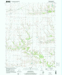
1998 Map of Berwick
USGS Topo · Published 2001About this map
Berwick stands as the primary community in this portion of Warren County, where the transition between the rolling uplands of Lenox and Floyd townships and the creek valleys of Roseville is clearly defined. The landscape is characterized by its agricultural heritage and the quiet infrastructure of rural life, evidenced by the Old Railroad Grade and the Pipeline that traverse the northern sections.
Find a feature on this map
17 named features on this map. Tap any name to fly to it.
Don’t see what you’re looking for? This feature index may not catch every label — zoom into the map to look around manually.
Map Details
Editions of this 1998 Berwick Map
This is the sole edition of this map. No revisions or reprints were ever made.
Other maps of this area

1915 · Avon
USGS Topo · 1:62,500

1916 · Good Hope
USGS Topo · 1:62,500

1918 · Good Hope
USGS Topo · 1:62,500

1921 · Monmouth
USGS Topo · 1:62,500

1923 · Monmouth
USGS Topo · 1:62,500

1925 · Galesburg
USGS Topo · 1:62,500

1927 · Galesburg
USGS Topo · 1:62,500

1944 · Avon
USGS Topo · 1:62,500

1958 · Burlington
USGS Topo · 1:250,000

1961 · Burlington
USGS Topo · 1:250,000