2022 Map of Bethany
USGS Topo · Published 2022About this map
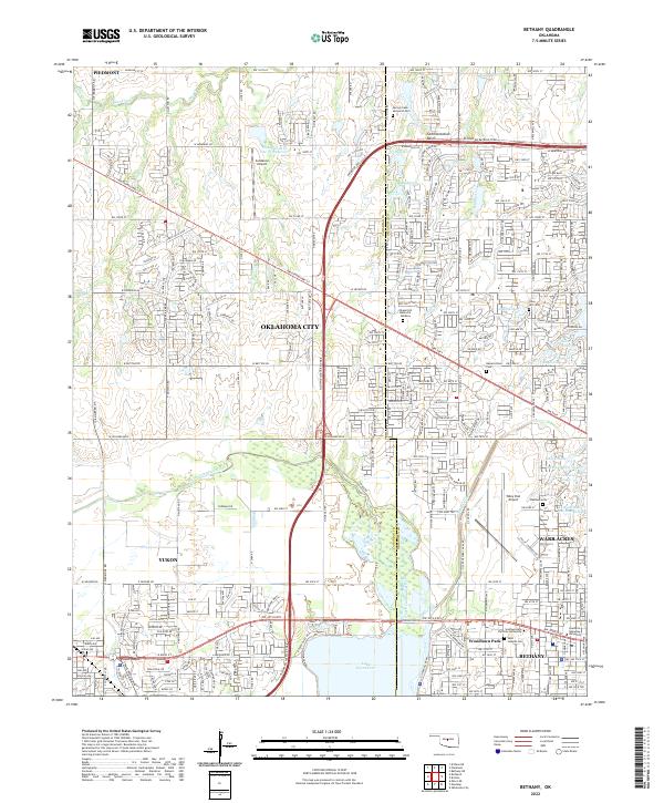
The North Canadian River flows through this suburban landscape, framing the growth of western Oklahoma City and the independent enclave of Bethany. The map highlights a concentration of educational and spiritual landmarks, including Southern Nazarene University and Southwestern Christian University, which anchor the community south of the Wiley Post Airport. To the west, the massive expanse of Lake Overholser and the smaller Ramsey Lake provide critical water infrastructure and recreational space for the surrounding neighborhoods of Yukon and Woodlawn Park.
Find a feature on this map
96 named features on this map. Tap any name to fly to it.
Don’t see what you’re looking for? This feature index may not catch every label — zoom into the map to look around manually.
Map Details
Editions of this 2022 Bethany Map
This is the sole edition of this map. No revisions or reprints were ever made.
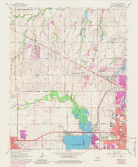
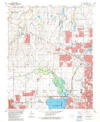
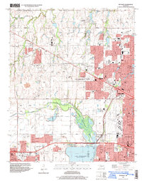
Historical Maps of Woodlawn Park Through Time
4 maps found