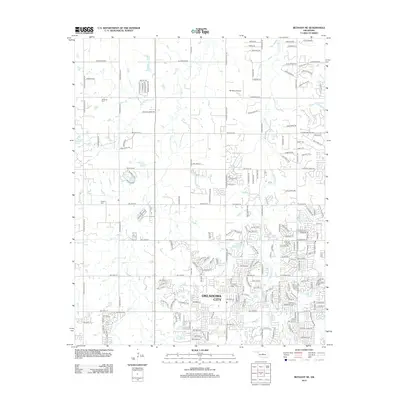
2012 Map of Bethany NE
USGS Topo · Published 2012About this map
Oklahoma City's northern expansion is recorded here, showing a landscape defined by residential development meeting agricultural roots. The map is marked by several historical burial grounds, including Christner Cem and Whisler Cem, providing valuable reference points for genealogists. The water systems of Bloody Rush Cr, Deer Cr, and Chisholm Cr dictate the layout of modern subdivisions and local landmarks like Johnson Lake.
Find a feature on this map
178 named features on this map. Tap any name to fly to it.
Don’t see what you’re looking for? This feature index may not catch every label — zoom into the map to look around manually.
Map Details
Editions of this 2012 Bethany NE Map
This is the sole edition of this map. No revisions or reprints were ever made.
Other maps of this area

1892 · Guthrie
USGS Topo · 1:62,500

1892 · Edmond
USGS Topo · 1:62,500

1892 · Kingfisher
USGS Topo · 1:125,000

1895 · Kingfisher
USGS Topo · 1:125,000

1935 · Spencer
USGS Topo · 1:24,000

1935 · Edmond
USGS Topo · 1:48,000

1940 · Edmond
USGS Topo · 1:62,500

1951 · Britton
USGS Topo · 1:24,000

1954 · Oklahoma City
USGS Topo · 1:250,000
1956 · Spencer
USGS Topo · 1:24,000