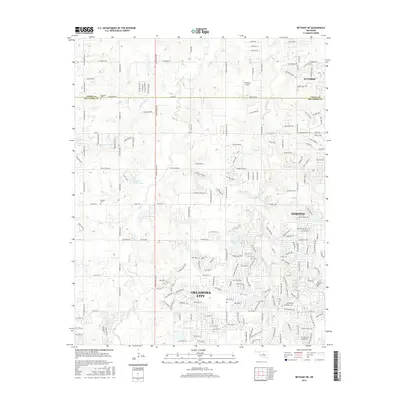
2016 Map of Bethany NE
USGS Topo · Published 2016About this map
The Logan and Oklahoma County line bisects this landscape, illustrating the suburban transition between Guthrie, Edmond, and the northern reaches of Oklahoma City during the early 21st century. The map highlights a dense network of residential development intermixed with historical rural markers. Family and community heritage is preserved at Christner Cem near Waterloo Rd and Whisler Cem further south.
Find a feature on this map
194 named features on this map. Tap any name to fly to it.
Don’t see what you’re looking for? This feature index may not catch every label — zoom into the map to look around manually.
Map Details
Editions of this 2016 Bethany NE Map
This is the sole edition of this map. No revisions or reprints were ever made.
Other maps of this area

1892 · Guthrie
USGS Topo · 1:62,500

1892 · Edmond
USGS Topo · 1:62,500

1892 · Kingfisher
USGS Topo · 1:125,000

1895 · Kingfisher
USGS Topo · 1:125,000

1935 · Spencer
USGS Topo · 1:24,000

1935 · Edmond
USGS Topo · 1:48,000

1940 · Edmond
USGS Topo · 1:62,500

1951 · Britton
USGS Topo · 1:24,000

1954 · Oklahoma City
USGS Topo · 1:250,000
1956 · Spencer
USGS Topo · 1:24,000