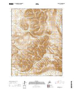
2017 Map of Bethel A-5 SE
USGS Topo · Published 2017About this map
The Middle Fork Eek River winds through this section of southwest Alaska, providing the primary drainage for a landscape defined by dramatic elevation changes. The waterway meanders across the central and northern portions of the quadrangle, serving as a critical geographic marker in an area otherwise characterized by high peaks and remote terrain. In the southeastern corner, the Eek Mountains rise sharply, marking the transition into higher elevations. This U.S. Geological Survey topographic study captures the uninhabited character of the region, where the natural water systems and mountain ranges dictate the flow of the land. The mapping reveals the complex topographical details of the river valley as it cuts through the surrounding ridges, a useful reference for understanding the hydrology and landforms of the Bethel census area.
Find a feature on this map
6 named features on this map. Tap any name to fly to it.
Don’t see what you’re looking for? This feature index may not catch every label — zoom into the map to look around manually.
Map Details
Editions of this 2017 Bethel A-5 SE Map
This is the sole edition of this map. No revisions or reprints were ever made.
Other maps of this area

1950 · Bethel
USGS Topo · 1:250,000

1951 · Goodnews
USGS Topo · 1:250,000

1954 · Bethel A-5
USGS Topo · 1:63,360

1954 · Bethel A-4
USGS Topo · 1:63,360

1954 · Goodnews D-4
USGS Topo · 1:63,360

1954 · Goodnews D-5
USGS Topo · 1:63,360

1979 · Goodnews Bay
USGS Topo · 1:250,000

1980 · Bethel
USGS Topo · 1:250,000
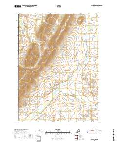
2017 · Bethel A-5 SW
USGS Topo · 1:25,000
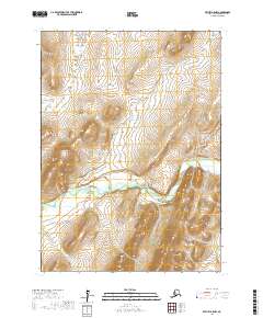
2017 · Bethel A-5 NW
USGS Topo · 1:25,000